Skip to content
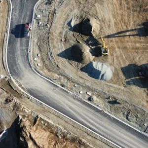
BRAND-datum-design-Aerial-drone-photography-vancouver-island-comox--8
  • Home
  • Services
    • LiDAR Scanning
    • Photogrammetry & 3D Modeling
    • Orthomosaic Mapping & Topographic Products
    • Volumetric Surveys
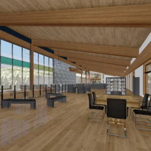
    • 2D Revit Drafting & 3D Rendering
  • More
    • FAQ
    • Industries
    • Gallery
    • Resources
  • About
  • Inquiry
  • Contact

Sitemap

Vancouver Island Aerial Drone Services

Pages

  • Home
  • About
  • Contact
    • Inquiry
  • Privacy Policy
  • Sitemap
  • More
    • FAQ
    • Resources
    • Industries
  • Services
    • Volumetric Surveys
    • 2D Revit Drafting & 3D Rendering
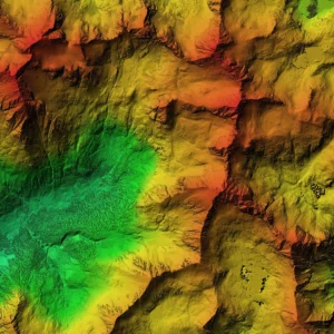
    • Orthomosaic Mapping & Topographic Products
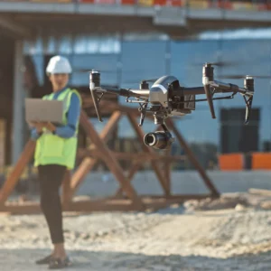
    • Photogrammetry & 3D Modeling
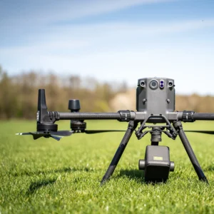
    • LiDAR Scanning

Categories

  • Featured
  • All

Posts

  • Volumetric Surveys: Stockpile and Cut/Fill Measurements Without Guesswork
  • What Is an Orthomosaic Map—and Why Builders and Site Teams Use It
  • LiDAR vs Photogrammetry: Which Drone Data Is Right for Your Project?
JOIN US ON SOCIALS

Join Datum Design on one of the following social media platforms.

(opens in new tab) (opens in new tab)
BRAND-datum-design-Aerial-drone-photography-vancouver-island-comox--8
(opens in new tab) (opens in new tab) (opens in new tab) (opens in new tab)

© 2026 Datum Design. All Rights Reserved.

Contact • Privacy Policy • Sitemap